How End
 | |||
| Państwo |
| ||
|---|---|---|---|
| Kraj |
| ||
| Region | East of England | ||
| Hrabstwo ceremonialne | Bedfordshire | ||
| Unitary authority | Central Bedfordshire | ||
| Nr kierunkowy | 01234 | ||
| Kod pocztowy | MK45 | ||
Położenie na mapie Bedfordshire  | |||
Położenie na mapie Wielkiej Brytanii  | |||
Położenie na mapie Anglii  | |||
 52°04′N 0°30′W/52,066667 -0,500000 52°04′N 0°30′W/52,066667 -0,500000 | |||
| |||


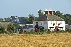
How End – osada w Anglii, w hrabstwie ceremonialnym Bedfordshire, w dystrykcie (unitary authority) Central Bedfordshire. Leży 9 km na południe od centrum miasta Bedford i 67 km na północ od centrum Londynu[1].
Przypisy
- ↑ How End na mapie. getamap.ordnancesurvey.co.uk. [dostęp 2010-10-01].


